
Guinea-Bissau Annual Area Burnt by Wildfires 2026: 199,687 hectares
Guinea-Bissau's annual area burnt by wildfires in 2026 is 199,687 hectares, up 6.3% from 2025. It ranks #60 of 227 countries.
Annual area burnt by wildfires measures the total land affected by wildfires each year in hectares.
Source (2026): Annual area burnt by wildfires
Where Guinea-Bissau ranks (2026)
#60 of 227- #58
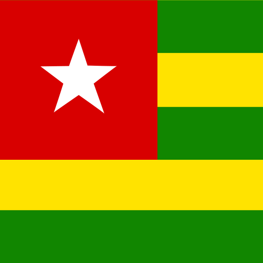 Togo209,812 hectares
- #59
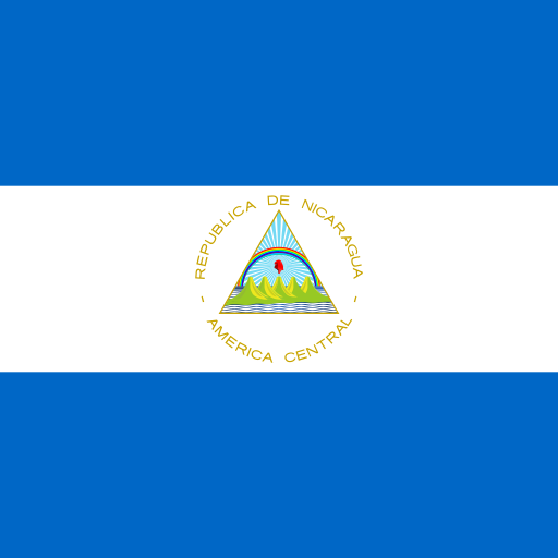 Nicaragua207,872 hectares
- #60
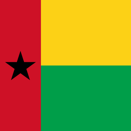 Guinea-Bissau199,687 hectares
- #61
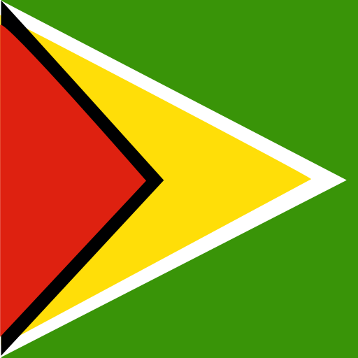 Guyana193,034 hectares
- #62
 Guatemala178,760 hectares
Annual Area Burnt by Wildfires over time
| Year | Value | Change | % Change | Actions |
|---|---|---|---|---|
| 2026 | 199.69K hectares | +11.91K hectares | +6.34% | |
| 2025 | 187.78K hectares | 133.80K hectares | -41.61% | |
| 2024 | 321.57K hectares | +26.73K hectares | +9.07% | |
| 2023 | 294.84K hectares | 92.84K hectares | -23.95% | |
| 2022 | 387.68K hectares | +46.22K hectares | +13.54% | |
| 2021 | 341.46K hectares | 150.87K hectares | -30.64% | |
| 2020 | 492.33K hectares | +20.79K hectares | +4.41% | |
| 2019 | 471.55K hectares | +173.13K hectares | +58.02% | |
| 2018 | 298.41K hectares | 58.42K hectares | -16.37% | |
| 2017 | 356.83K hectares | 135.13K hectares | -27.47% | |
| 2016 | 491.96K hectares | 45.59K hectares | -8.48% | |
| 2015 | 537.55K hectares | +3.25K hectares | +0.61% | |
| 2014 | 534.31K hectares | +115.95K hectares | +27.72% | |
| 2013 | 418.36K hectares | 44.36K hectares | -9.59% | |
| 2012 | 462.72K hectares | — | — |
Cite this page
Geo Factbook. (n.d.). Guinea-Bissau: Annual Area Burnt by Wildfires. Retrieved November 16, 2026, from https://geofactbook.com/countries/guinea-bissau/annual-area-burnt-by-wildfires
The figures on this page come from Annual area burnt by wildfires | Global Wildfire Information System via Our World in Data. For academic work, cite the original source as well.
Frequently Asked Questions About Guinea-Bissau Annual Area Burnt by Wildfires
What is Guinea-Bissau's annual area burnt by wildfires in 2026?▾
Guinea-Bissau's annual area burnt by wildfires is 199,687 hectares in 2026, according to Annual area burnt by wildfires | Global Wildfire Information System via Our World in Data.
Is Guinea-Bissau's annual area burnt by wildfires increasing or decreasing?▾
Guinea-Bissau's annual area burnt by wildfires rose by 6.3% from 2025 (187,778 hectares) to 2026 (199,687 hectares). Over the past decade (2016–2026) it fell by 59.4%.
How does Guinea-Bissau rank for annual area burnt by wildfires?▾
In 2026, Guinea-Bissau has the 60th highest annual area burnt by wildfires out of 227 countries with data.
What was Guinea-Bissau's annual area burnt by wildfires in 2012?▾
In 2012, Guinea-Bissau's annual area burnt by wildfires was 462,718 hectares. By 2026 it fell by 56.8%.
Explore additional statistical insights
Population living in slums in Guinea-Bissau
This statistic measures the percentage of a country's population living in slums, highlighting urban poverty and living conditions. Understanding slum populations is crucial for addressing housing challenges and improving the quality of life.
Refined Petroleum Products Exports in Guinea-Bissau
Refined petroleum products exports reflect a country's economic strength. Compare nations, explore rankings, and view interactive maps.
Refined Petroleum Products Production in Guinea-Bissau
Refined Petroleum Products Production data reveals insights into global energy trends. Compare countries and explore interactive maps and rankings.
Above-Ground Biomass in Forest (tonnes/ha) in Guinea-Bissau
Above-ground biomass in forest measures carbon storage per hectare. Explore rankings and compare data across 266+ countries with interactive maps.
Aquaculture Output in Guinea-Bissau
Aquaculture output tracks the production of fish and seafood from fish farms, a growing industry globally.
Electricity from Hydroelectric Plants in Guinea-Bissau
Electricity from hydroelectric plants shows renewable energy production. Explore country rankings, compare data, and view interactive maps.