
Suriname Annual Area Burnt by Wildfires 2026: 61,387 hectares
Suriname's annual area burnt by wildfires in 2026 is 61,387 hectares, up 275.5% from 2025. It ranks #82 of 227 countries.
Annual area burnt by wildfires measures the total land affected by wildfires each year in hectares.
Source (2026): Annual area burnt by wildfires
Where Suriname ranks (2026)
#82 of 227- #80
 Serbia64,128 hectares
- #81
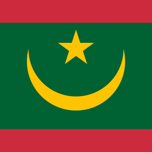 Mauritania61,903 hectares
- #82
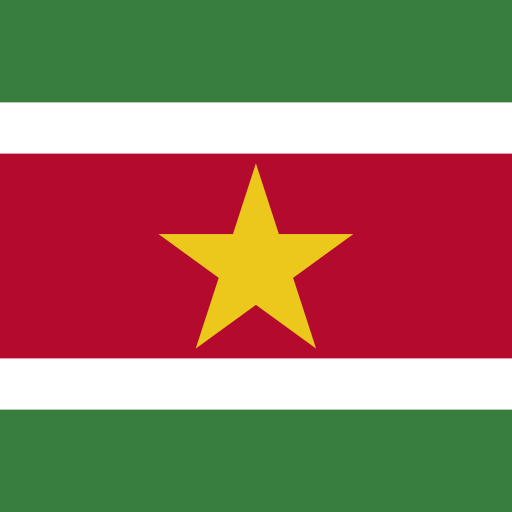 Suriname61,387 hectares
- #83
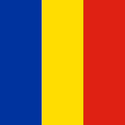 Romania61,236 hectares
- #84
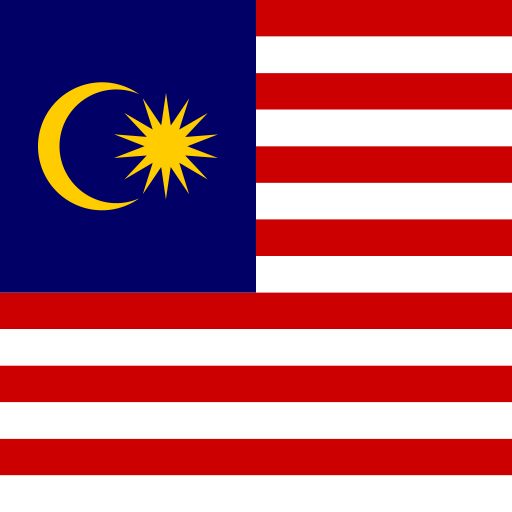 Malaysia60,405 hectares
Annual Area Burnt by Wildfires over time
| Year | Value | Change | % Change | Actions |
|---|---|---|---|---|
| 2026 | 61.39K hectares | +45.04K hectares | +275.50% | |
| 2025 | 16.35K hectares | 111.02K hectares | -87.16% | |
| 2024 | 127.37K hectares | +30.48K hectares | +31.46% | |
| 2023 | 96.89K hectares | +84.71K hectares | +695.53% | |
| 2022 | 12.18K hectares | 2.04K hectares | -14.37% | |
| 2021 | 14.22K hectares | 28.82K hectares | -66.96% | |
| 2020 | 43.04K hectares | 2.47K hectares | -5.42% | |
| 2019 | 45.51K hectares | +4.19K hectares | +10.15% | |
| 2018 | 41.32K hectares | +14.35K hectares | +53.21% | |
| 2017 | 26.97K hectares | 26.37K hectares | -49.44% | |
| 2016 | 53.34K hectares | 6.86K hectares | -11.39% | |
| 2015 | 60.19K hectares | +24.16K hectares | +67.06% | |
| 2014 | 36.03K hectares | +17.33K hectares | +92.71% | |
| 2013 | 18.70K hectares | 39.06K hectares | -67.63% | |
| 2012 | 57.76K hectares | — | — |
Cite this page
Geo Factbook. (n.d.). Suriname: Annual Area Burnt by Wildfires. Retrieved November 16, 2026, from https://geofactbook.com/countries/suriname/annual-area-burnt-by-wildfires
The figures on this page come from Annual area burnt by wildfires | Global Wildfire Information System via Our World in Data. For academic work, cite the original source as well.
Frequently Asked Questions About Suriname Annual Area Burnt by Wildfires
What is Suriname's annual area burnt by wildfires in 2026?▾
Suriname's annual area burnt by wildfires is 61,387 hectares in 2026, according to Annual area burnt by wildfires | Global Wildfire Information System via Our World in Data.
Is Suriname's annual area burnt by wildfires increasing or decreasing?▾
Suriname's annual area burnt by wildfires rose by 275.5% from 2025 (16,348 hectares) to 2026 (61,387 hectares). Over the past decade (2016–2026) it rose by 15.1%.
How does Suriname rank for annual area burnt by wildfires?▾
In 2026, Suriname has the 82nd highest annual area burnt by wildfires out of 227 countries with data.
What was Suriname's annual area burnt by wildfires in 2012?▾
In 2012, Suriname's annual area burnt by wildfires was 57,760 hectares. By 2026 it rose by 6.3%.
Explore additional statistical insights
Coastline Length (km) in Suriname
Coastline length in kilometers measures a country's coastal geography. Compare countries and explore interactive maps and rankings.
Aquaculture Output in Suriname
Aquaculture output tracks the production of fish and seafood from fish farms, a growing industry globally.
Carbon Dioxide Emissions in Suriname
Carbon dioxide emissions reveal environmental impact. Explore rankings, compare countries, and analyze historical trends with interactive maps.
Protected Land Area for Adaptation in Suriname
Protected land as a climate adaptation strategy ensures biodiversity and resilience against climate impacts.
Refined Petroleum Products Exports in Suriname
Refined petroleum products exports reflect a country's economic strength. Compare nations, explore rankings, and view interactive maps.
Electricity Installed Capacity in Suriname
Electricity Installed Capacity measures the total power generation capability. Compare countries, explore rankings, and view interactive maps.