
Mayotte Tree Cover Loss 2024: 1,159 hectares
Mayotte's tree cover loss in 2024 is 1,159 hectares, up 2037.6% from 2023. It ranks #123 of 190 countries.
Tree cover loss measures the annual reduction in tree cover across countries, indicating deforestation and environmental impact.
Source (2024): Tree cover loss
Where Mayotte ranks (2024)
#123 of 190- #121
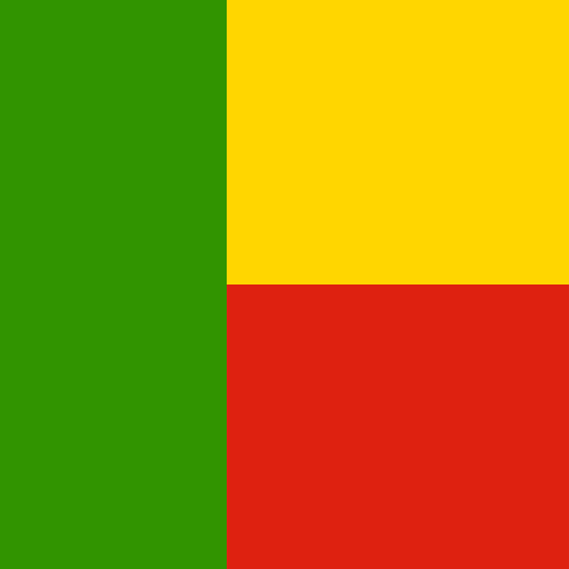 Benin1,389.47 hectares
- #122
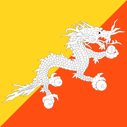 Bhutan1,162.01 hectares
- #123
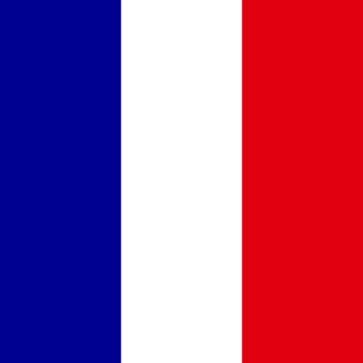 Mayotte1,158.54 hectares
- #124
 Trinidad and Tobago1,103.64 hectares
- #125
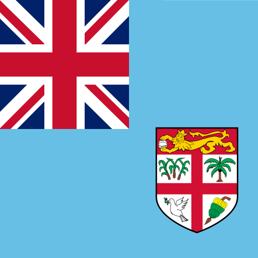 Fiji1,074.08 hectares
Tree Cover Loss over time
| Year | Value | Change | % Change | Actions |
|---|---|---|---|---|
| 2024 | 1.16K hectares | +1.10K hectares | +2037.56% | |
| 2023 | 54.2 hectares | 18.75 hectares | -25.70% | |
| 2022 | 72.95 hectares | +9.52 hectares | +15.01% | |
| 2021 | 63.42 hectares | 103.29 hectares | -61.96% | |
| 2020 | 166.71 hectares | +131.81 hectares | +377.60% | |
| 2019 | 34.91 hectares | 37.38 hectares | -51.71% | |
| 2018 | 72.28 hectares | +27.92 hectares | +62.93% | |
| 2017 | 44.36 hectares | 38.88 hectares | -46.71% | |
| 2016 | 83.24 hectares | +65.15 hectares | +360.17% | |
| 2015 | 18.09 hectares | 1.13K hectares | -98.42% | |
| 2014 | 1.15K hectares | +820.22 hectares | +252.25% | |
| 2013 | 325.16 hectares | +194.71 hectares | +149.26% | |
| 2012 | 130.45 hectares | +128.12 hectares | +5505.25% | |
| 2011 | 2.33 hectares | 29.5 hectares | -92.69% | |
| 2010 | 31.83 hectares | +26.13 hectares | +457.97% | |
| 2009 | 5.7 hectares | 36.94 hectares | -86.62% | |
| 2008 | 42.64 hectares | +22.97 hectares | +116.79% | |
| 2007 | 19.67 hectares | 21.47 hectares | -52.18% | |
| 2006 | 41.14 hectares | +6.9 hectares | +20.17% | |
| 2005 | 34.23 hectares | +29.28 hectares | +590.92% | |
| 2004 | 4.95 hectares | 25.37 hectares | -83.66% | |
| 2003 | 30.33 hectares | +9.46 hectares | +45.31% | |
| 2002 | 20.87 hectares | 10.28 hectares | -33.01% | |
| 2001 | 31.15 hectares | — | — |
Cite this page
Geo Factbook. (n.d.). Mayotte: Tree Cover Loss. Retrieved November 16, 2026, from https://geofactbook.com/countries/mayotte/tree-cover-loss
The figures on this page come from Tree cover loss | Global Forest Watch via Our World in Data. For academic work, cite the original source as well.
Frequently Asked Questions About Mayotte Tree Cover Loss
What is Mayotte's tree cover loss in 2024?▾
Mayotte's tree cover loss is 1,159 hectares in 2024, according to Tree cover loss | Global Forest Watch via Our World in Data.
Is Mayotte's tree cover loss increasing or decreasing?▾
Mayotte's tree cover loss rose by 2037.6% from 2023 (54.20 hectares) to 2024 (1,159 hectares). Over the past decade (2014–2024) it rose by 1.1%.
How does Mayotte rank for tree cover loss?▾
In 2024, Mayotte has the 123rd highest tree cover loss out of 190 countries with data.
What was Mayotte's tree cover loss in 2001?▾
In 2001, Mayotte's tree cover loss was 31.15 hectares. By 2024 it rose by 3618.9%.
Explore additional statistical insights
Percentage of land area by degree of urbanization in Mayotte
Explore the percentage of land area by degree of urbanization, highlighting how urban development shapes countries' landscapes and influences economic growth. Understanding this statistic reveals the balance between urban and rural spaces, essential for sustainable planning.
Pancreatic Cancer Mortality Rate in Mayotte
Pancreatic cancer mortality rate shows how many die from this cancer per 100,000 people annually. High rates help identify at-risk populations.
Airports in Mayotte
Airports data reveals the number of airports in each country. Compare nations, explore rankings, and see trends with interactive maps.
Population Below Poverty Line in Mayotte
Population below poverty line reveals how many live in hardship. Compare countries, explore rankings, and view interactive maps.
Birth Rate (%) in Mayotte
Explore birth rate data across countries. Compare rankings, view interactive maps, and analyze historical trends.
Major Urban Areas Population in Mayotte
Explore population figures for major urban areas worldwide. Compare cities, view rankings, and interact with detailed maps.