
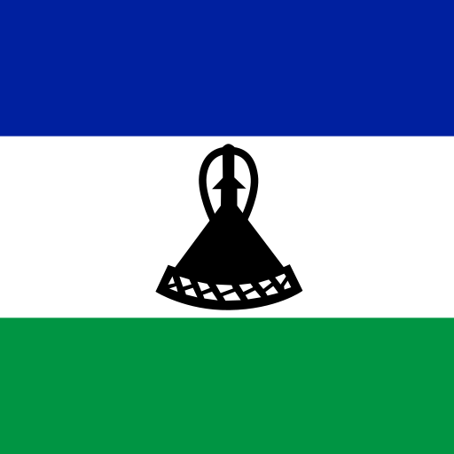
Lesotho Above-Ground Biomass in Forest (tonnes/ha) 2020: 73.72
Lesotho's above-ground biomass in forest (tonnes/ha) in 2020 is 73.72, unchanged from 2019. It ranks #145 of 203 countries.
Above-ground biomass in forest measures carbon storage per hectare. Explore rankings and compare data across 266+ countries with interactive maps.
Where Lesotho ranks (2020)
#145 of 203
Above-Ground Biomass in Forest (tonnes/ha) over time
| Year | Value | Change | % Change | Actions |
|---|---|---|---|---|
| 2020 | 73.72 | 0 | 0.00% | |
| 2019 | 73.72 | 0 | 0.00% | |
| 2018 | 73.72 | 0 | 0.00% | |
| 2017 | 73.72 | 0 | 0.00% | |
| 2016 | 73.72 | 0 | 0.00% | |
| 2015 | 73.72 | 0 | 0.00% | |
| 2010 | 73.72 | 0 | 0.00% | |
| 2000 | 73.72 | — | — |
Cite this page
Geo Factbook. (n.d.). Lesotho: Above-Ground Biomass in Forest (tonnes/ha). Retrieved November 20, 2026, from https://geofactbook.com/countries/lesotho/above-ground-biomass-in-forest-tonnes-per-hectare
The figures on this page come from Food and Agriculture Organization of the United Nations (FAO). For academic work, cite the original source as well.
Frequently Asked Questions About Lesotho Above-Ground Biomass in Forest (tonnes/ha)
What is Lesotho's above-ground biomass in forest (tonnes/ha) in 2020?▾
Lesotho's above-ground biomass in forest (tonnes/ha) is 73.72 in 2020, according to Food and Agriculture Organization of the United Nations (FAO).
Is Lesotho's above-ground biomass in forest (tonnes/ha) increasing or decreasing?▾
Lesotho's above-ground biomass in forest (tonnes/ha) was essentially unchanged from 2019 (73.72) to 2020 (73.72). Over the past decade (2010–2020) it was essentially unchanged.
How does Lesotho rank for above-ground biomass in forest (tonnes/ha)?▾
In 2020, Lesotho has the 145th highest above-ground biomass in forest (tonnes/ha) out of 203 countries with data.
What was Lesotho's above-ground biomass in forest (tonnes/ha) in 2000?▾
In 2000, Lesotho's above-ground biomass in forest (tonnes/ha) was 73.72. By 2020 it was essentially unchanged.
Explore additional statistical insights
Total Threatened Mammal Species in Lesotho
Total threatened mammal species highlight biodiversity risks. Track conservation efforts worldwide.
Annual Area Burnt by Wildfires in Lesotho
Annual area burnt by wildfires measures the total land affected by wildfires each year in hectares.
Protected Land Area Percentage in Lesotho
Protected land area percentage shows the share of a country's land dedicated to conservation and biodiversity.
Water Withdrawals Per Capita in Lesotho
Water withdrawals per capita measure the average water use per person, reflecting demand on water resources.
Coastline Length (km) in Lesotho
Coastline length in kilometers measures a country's coastal geography. Compare countries and explore interactive maps and rankings.
Dam capacity per capita in Lesotho
Dam capacity per capita measures the amount of water storage available for each individual in a country, expressed in cubic meters. This statistic highlights water resource management and its impact on sustainability and development. Understanding dam capacity is crucial for addressing water security and supporting agriculture, industry, and communities.