
Anguilla Annual Area Burnt by Wildfires 2026: 0 hectares
Anguilla's annual area burnt by wildfires in 2026 is 0 hectares. It ranks #176 of 227 countries.
Annual area burnt by wildfires measures the total land affected by wildfires each year in hectares.
Source (2026): Annual area burnt by wildfires
Where Anguilla ranks (2026)
#176 of 227- #176
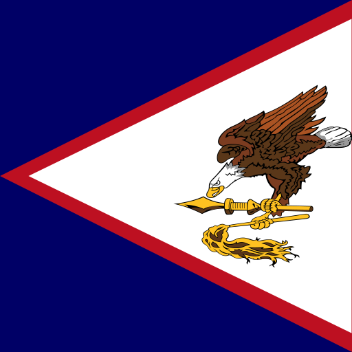 American Samoa0 hectares
- #176
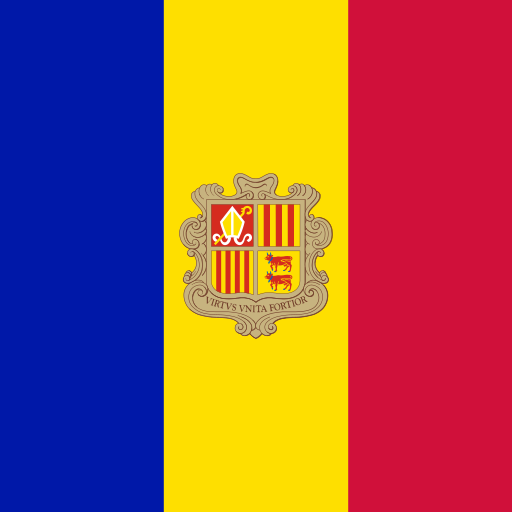 Andorra0 hectares
- #176
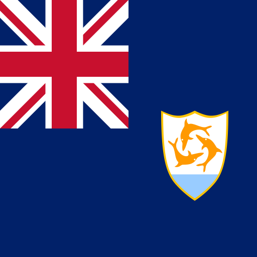 Anguilla0 hectares
- #176
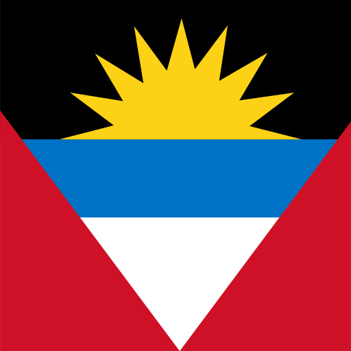 Antigua and Barbuda0 hectares
- #176
 Aruba0 hectares
Annual Area Burnt by Wildfires over time
| Year | Value | Change | % Change | Actions |
|---|---|---|---|---|
| 2026 | 0 hectares | — | — | |
| 2025 | 0 hectares | — | — | |
| 2024 | 0 hectares | — | — | |
| 2023 | 0 hectares | — | — | |
| 2022 | 0 hectares | — | — | |
| 2021 | 0 hectares | — | — | |
| 2020 | 0 hectares | — | — | |
| 2019 | 0 hectares | — | — | |
| 2018 | 0 hectares | — | — | |
| 2017 | 0 hectares | — | — | |
| 2016 | 0 hectares | — | — | |
| 2015 | 0 hectares | — | — | |
| 2014 | 0 hectares | — | — | |
| 2013 | 0 hectares | — | — | |
| 2012 | 0 hectares | — | — |
Cite this page
Geo Factbook. (n.d.). Anguilla: Annual Area Burnt by Wildfires. Retrieved November 16, 2026, from https://geofactbook.com/countries/anguilla/annual-area-burnt-by-wildfires
The figures on this page come from Annual area burnt by wildfires | Global Wildfire Information System via Our World in Data. For academic work, cite the original source as well.
Frequently Asked Questions About Anguilla Annual Area Burnt by Wildfires
What is Anguilla's annual area burnt by wildfires in 2026?▾
Anguilla's annual area burnt by wildfires is 0 hectares in 2026, according to Annual area burnt by wildfires | Global Wildfire Information System via Our World in Data.
How does Anguilla rank for annual area burnt by wildfires?▾
In 2026, Anguilla has the 176th highest annual area burnt by wildfires out of 227 countries with data.
What was Anguilla's annual area burnt by wildfires in 2012?▾
In 2012, Anguilla's annual area burnt by wildfires was 0 hectares.
Explore additional statistical insights
Tree Cover Loss in Anguilla
Tree cover loss measures the annual reduction in tree cover across countries, indicating deforestation and environmental impact.
Above-Ground Biomass in Forest (tonnes/ha) in Anguilla
Above-ground biomass in forest measures carbon storage per hectare. Explore rankings and compare data across 266+ countries with interactive maps.
Annual Forest Area Change Rate in Anguilla
Annual forest area change rate indicates how quickly a country's forests are expanding or shrinking each year.
Coastline Length (km) in Anguilla
Coastline length in kilometers measures a country's coastal geography. Compare countries and explore interactive maps and rankings.
Life expectancy at birth in Anguilla
Life expectancy at birth measures the average years a newborn is expected to live, reflecting a country's health standards and quality of life. This vital statistic highlights disparities in healthcare and living conditions across nations, making it essential for global health assessments.
Major Urban Areas Population in Anguilla
Explore population figures for major urban areas worldwide. Compare cities, view rankings, and interact with detailed maps.